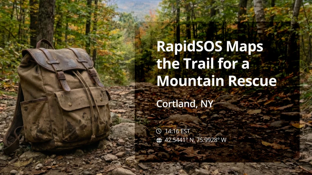
Hiker in medical distress
RAPIDSOS UNITE FEATURE
Location, Mapping, Responder Location (via IamResponding/Field Module), GIS Module (Custom Trails)
For Scott Magee, a 25-year veteran 911 dispatcher with Cortland County, New York, the call started like many others: a cell 911 call from a remote location. A woman reported that her husband had fallen while they were hiking in a state forest, about a mile from their parked car. He wasn’t alert or breathing normally, suggesting a medical emergency rather than just an injury.
In the past, a call like this meant dispatching blind.
Dispatchers had to rely on 911 Phase 2 capabilities for vague information, manually enter coordinates into a web map, and often end up with an uncertainty radius of a quarter-mile. First responders would then have to canvas the area, yelling out or flashing lights and hoping the caller could direct them. You’re flying by the seat of your pants… and it’s madness,” Scott reflects on the old workflow.
The right tech at the right time
This time, however, the situation was completely different. The day before the incident, Scott and his management team had finished implementing updated hiking trail data into their RapidSOS UNITE platform. When the call came in the next day, the caller’s location was immediately plotted right onto the digital trail map.
The dispatcher on the floor was able to quickly reassure the worried caller. He could confidently say, “I can see exactly where you are on the [RapidSOS map]. You’re right on the trail. We got help coming for you”. The dispatcher was even able to match the caller’s verbal directions — “up to a T intersection, about 100 feet in the woods, and then you have to go to the right” — to the trails visible on his screen, confirming their position.

With the precise GPS coordinates available, first responders — including both ambulance and fire departments — were dispatched quickly. From the time the ambulance was dispatched until the crew reached the patient a mile up the trail, only 27 minutes had passed.
Uncovering a new layer of awareness
The incident was successful not only because of the initial pinpointing, but because the emergency revealed a new capability to the entire responding community.
During the call, Scott’s Assistant Director, Tim Hines, noticed that the real-time location of the responding fire units was also visible on the RapidSOS map, thanks to the integration with IamResponding. Tim, who had just learned about this feature at an APCO conference two weeks prior, realized the significance.
“They didn’t know that we could see all this,” Scott explains. The fire and ambulance personnel were surprised when they learned the dispatchers could track their exact location on the mountain.
This ability to see both the caller and the responder on the same map was invaluable.
The impact of clarity
The rescue was a massive win for the community and for the dispatch center. It validated the new technology and the decision to implement custom GIS layers for local trails.
For Scott and the Cortland County team, the case was a big learning moment — a real-world example of how technology provides the confidence to act, eliminating the guesswork that defined a former era of dispatch. As a direct result, the county is now taking action to ensure all fire departments are trained on how the IamResponding integration with RapidSOS can enhance their response, particularly in remote areas.
“It gave you that confidence, that additional layer of accuracy,” Scott concludes. For new and veteran dispatchers alike, that confidence means faster help, safer responders, and better outcomes in life-or-death moments.
